The Meridian Chaser: Ricocheting Between Climate Divides Old and New
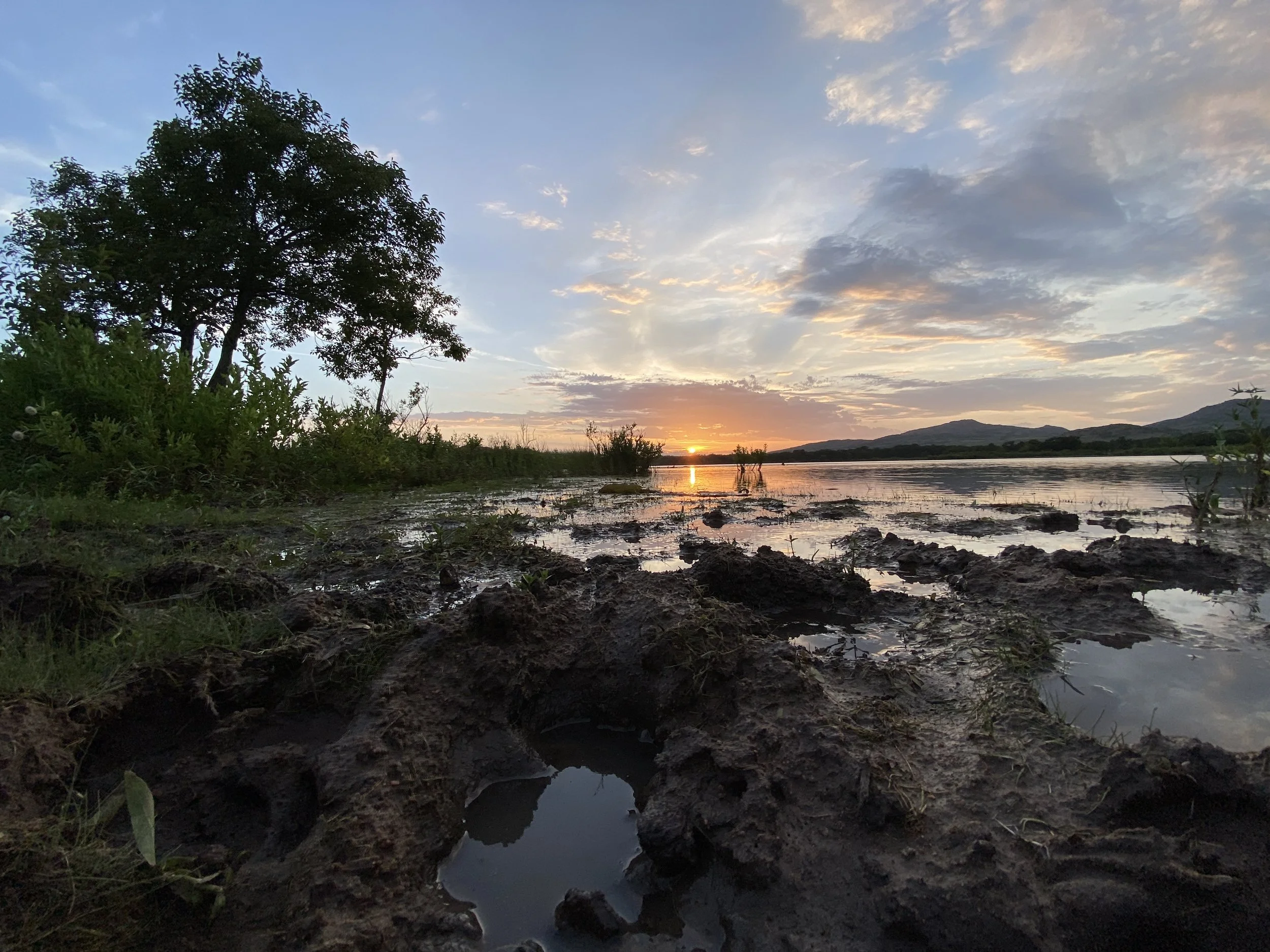
I CAN SEE THE PLANE'S reflection in the waterlogged fields of the Rio Grande Valley as it approaches the tarmac in late July. Outside Harlingen, Texas, flowering sorghum plants droop like weary refugees, marooned in the swamp. Corn. Sugarcane. Cotton too. A resident will later tell me that the water has been standing for weeks. Entire crops have been surrendered. An unusually wet summer following an unusually wet spring was enough to break the valley's multiyear drought, but the rain has proved to be too much too soon.
My plan is simple enough: Drive 2,000 miles north to Fargo. Stick to the 100th meridian. Ask questions. Observe.
The reason is a bit more complicated.
In 1878, a government geologist named John Wesley Powell, also a swashbuckling one-armed Civil War veteran, submitted to Congress his Report on the Lands of the Arid Region of the United States With a More Detailed Account of the Lands of Utah. By way of explaining the novel demands of this rain-shy region, Powell identified the 100th meridian, running vertically through the Great Plains, as America's climate divide, an invisible boundary between humid East and arid West.
"It is doubtless more or less meandering in its course throughout its whole extent from south to north, being affected by local conditions of rainfall, as well as by the general conditions above mentioned," he wrote. Temperature and altitude, mostly. "But in a general way it may be represented by the one hundredth meridian, in some places passing to the east, in others to the west, but in the main to the east."
Thanks largely to Wallace Stegner, whose 1954 classic Beyond the Hundredth Meridian rescued Powell's legacy from the historical dustbin, the geologist is celebrated today as a visionary whose blueprint for a more communal and deliberate use of the public domain, had it been adopted, "might have changed the history of a great part of the West." Powell proposed irrigation and pasturage districts run by cooperative unions, a pragmatic solution both for conserving natural resources (chiefly water) and for avoiding the litigation all but certain to arise if the free-for-all out West continued. Stegner called this unprecedented report a loaded gun, "for it challenged not only the initiative, individualism, and competitiveness which were quite as marked as co-operation in the American character . . . but it challenged as well the folklore bred up through generations of frontier farmers in a country of plentiful rain."
I want to see what's changing, or maybe who's changing. I want to meet these meridian riders myself, ricochet between the old line and the new.
Congress dismissed his counsel, but Powell managed nevertheless to imprint the 100th meridian into what Richard Seager, a Columbia University climate scientist, calls our "national psychogeography." To most Americans today, it is where East and West collide. Even if we don't know it, we know it. Like "escrow," or "Michael Dukakis." A vague but definite something we've heard people say.
Regardless, scientists say that the "effective 100th meridian" is on the move. In March 2018, 140 years after the release of Powell's report, Seager was the lead author on a two-part study published in Earth Interactions. The first part used hard data—climatological, hydrological, agricultural, economic—to show how Powell's climate boundary has organically shaped human settlement, no regulation necessary. "In the end, as people used the land, they realized that these climatic limits that Powell was talking about are very real," Seager told me before I left to find the meridian. "And over decades, they've made that adjustment."
But the second part of the study was perhaps more surprising. Because of climate change, the effective 100th meridian, it found, has shifted approximately 140 miles east since 1979, closer to the 98th, and will continue shifting as greenhouse gas emissions climb, increasing aridity along the way. For those who live on or near the line, especially those tied to the land, the consequences could be dramatic. Less corn. More wheat. Expanding rangeland. Increasing irrigation. And what of the aquifer supplies in the southern Great Plains, where the recharge is much slower? What of the cattle that rely on all that corn, and the suffering forage too? And what of the small towns holding their breath, propped up by the wobbly foundation of agriculture—the grocery stores and diners and local mechanics?
So I'm chasing the West eastward from the bottom up, from Texas to North Dakota, Brownsville to Bismarck, the Laguna Madre to Lake Sakakawea, cutting through my home turf in central Nebraska along the way. Roughly 2,000 miles of corn. Perhaps the longest, flattest run in North America. I want to see what's changing, or maybe who's changing. I want to meet these meridian riders myself, ricochet between the old line and the new. I want to spread Seager's study out like a map and drive my dusty rental car straight through it.